GIS
GIS
GEOSPATIAL SERVICES
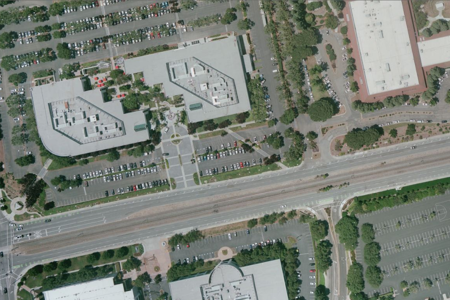
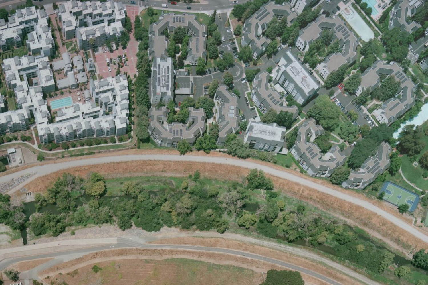
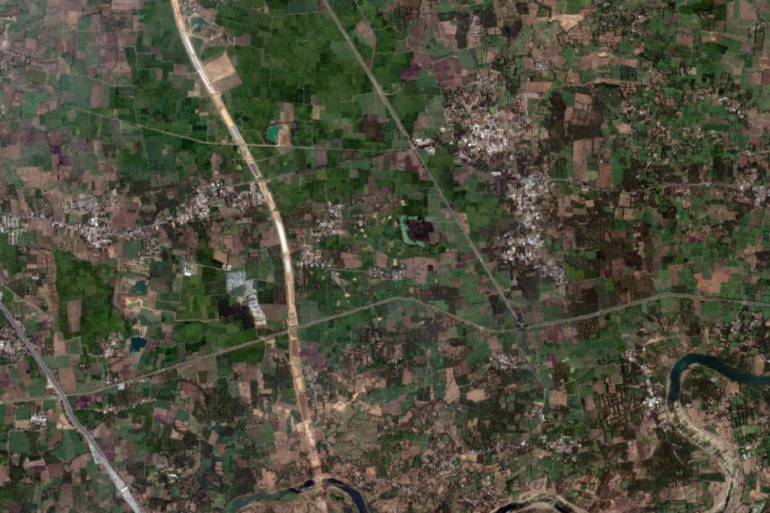
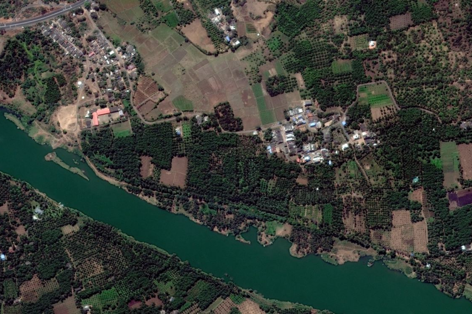
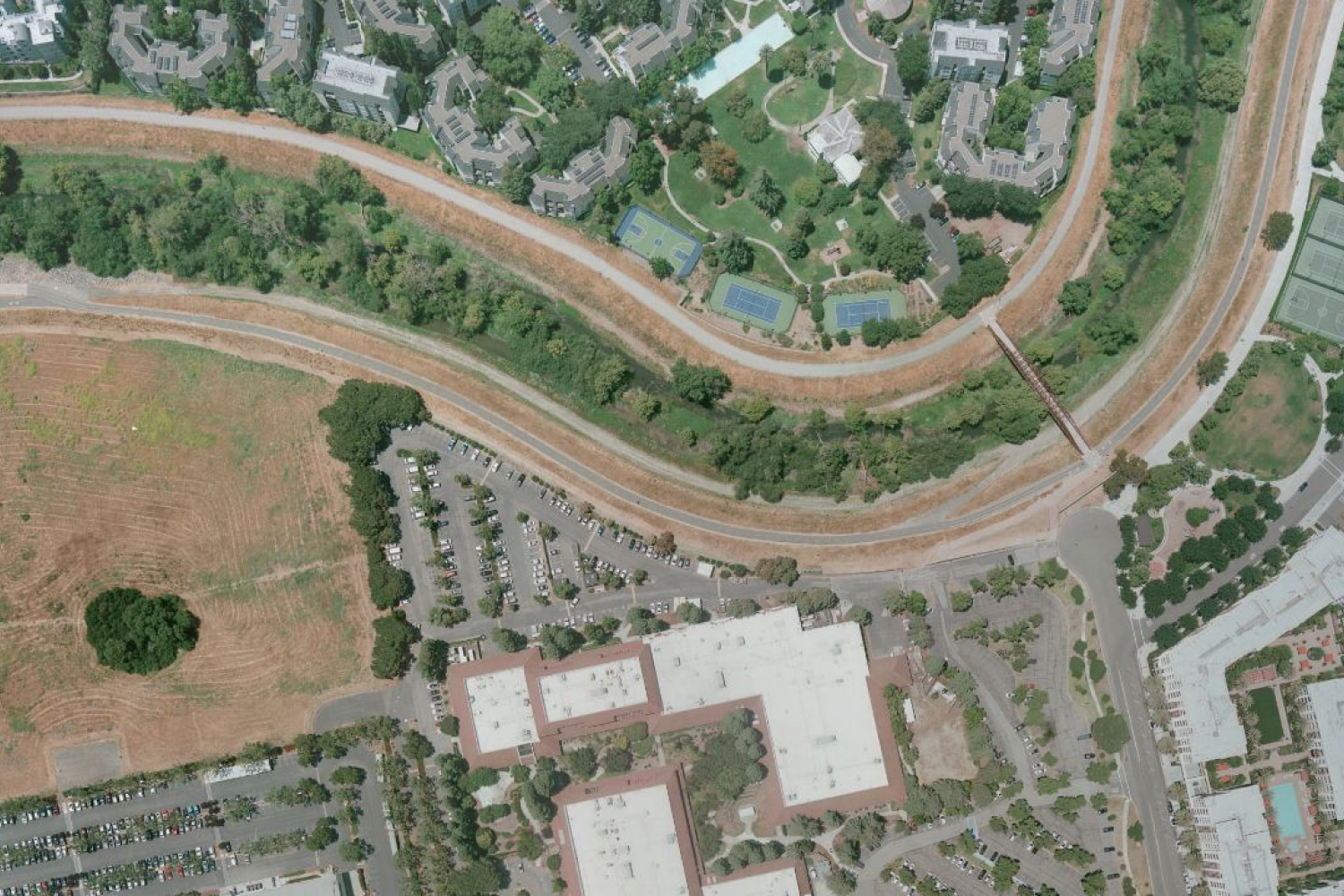
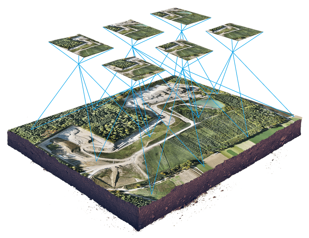
Conserve provides Geospatial services that includes Aerial Triangulation, 3D city Modelling, Contour, DTM – DEM Generation and Editing, Topographical Mapping, Planimetric Extraction 2D & 3D, Orthophoto generation, Conserve offers GIS Services under one
PHOTOGRAMMETRIC SERVICES
Extracting information from aerial photography, satellite imagery, and laser photography, our engineering team assists in utility mapping, city modelling, municipal mapping, cadastral mapping, and more. Having worked with project planners, contractors, and construction companies across geographies, contact conserve to help you in digital photogrammetry, terrain modelling, 3D visualization of the planimetric map, and more.
HOW CONSERVE HELPS IN GIS SERVICES?
Conserve’s Digital Twin for Construction can help businesses improve the performance of their systems and products, reduce downtime and maintenance costs, and optimize their operations.
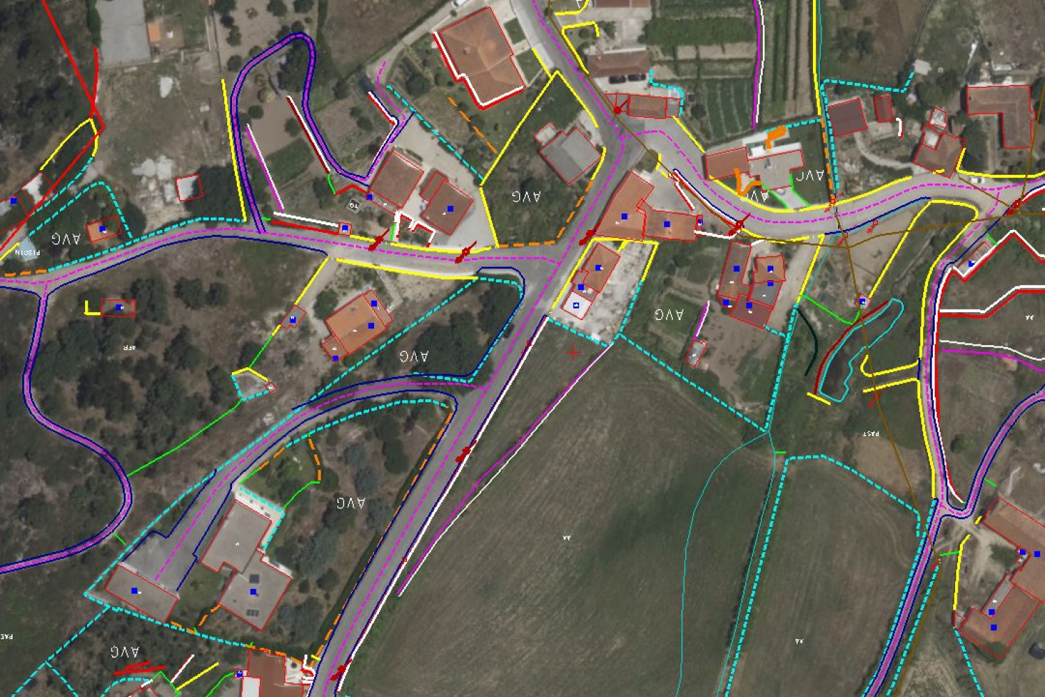
Determining horizontal location and elevation of ground points to provide enough data for plotting the topographic map.
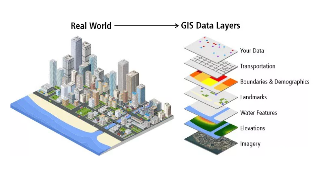
Capturing of contour lines, boundary lines, surrounding construction levels, vegetation, habitations, water bodies, and transportation channels as part of 3D topographic maps.
Locating natural and man-made features that may be required to produce contour lines representing elevations
Computing distances, angles, and elevations in order to produce topographic maps.
Producing property and utility maps. Preparation of detailed maps indicating geospatial disposition of electrical infrastructure.
Electrical asset mapping, coding, and consumer indexing. Updating older Topographic Maps to show new road systems and utility lines
Preparation of detailed maps indicating geospatial disposition of electrical infrastructure.
Electrical asset mapping, coding, and consumer indexing.
Updating older Topographic Maps to show new road systems and utility lines.
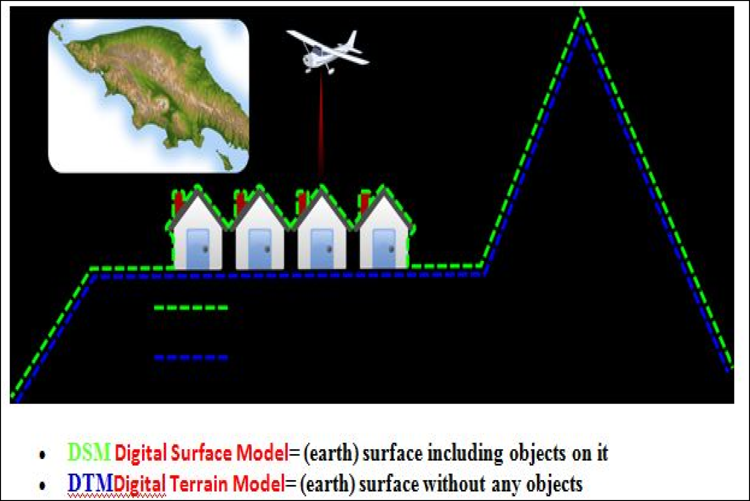
We can use generated DEM data to calculate terrain slope and aspect.
We can perform terrain volume calculations. We can create contours from DEM files at any contour intervals that the client requests.
We have experience modelling water flow and mass movement, e.g., floodplains, earthquakes, and landslides.
We are skilled in the rendering of 3D visualizations.
We can make shaded and colored relief maps from DEM data to make the terrain model much more informative graphically.
We can even make physical models from our DEM files, including raised-relief maps.
- We have advanced auto-correction techniques to the level where we can provide DEMs for digital ortho-photography creation
Explore the world of GIS Services, all under one roof, with Conserve Solutions
Join us for results you can trust
Why conserve solutions?
Specialist GIS:
Our Photogrammetry specialists have broad experience in several applications and enjoy working with the latest technologies.
Realizing our clients’ critical need:
Meeting cost, speed, and accuracy requirements simultaneously, conserve has designed innovative solutions to GIS Services by employing a judicious blend of technologies.
Planimetric Mapping:
Engineers at conserve do the measurement and mapping of planes which allows for thorough analysis of distance, angles, area, and volume.
Precise terrain mapping:
If accuracy or terrain mapping is important to your project, you should know our photogrammetry systems can map terrain to with accuracy.
Assurance of precision at the best price:
We have a proven track record of significant cost savings in delivering Planimetric Maps
Photogrammetric Mapping:
Our geographical data analysis experts collect 3D coordinates as survey data using photogrammetry which can be built into 3D models, giving you complete topographic information.
Expert services in topographic mapping:
If your project has a requirement for high definition topographic maps, we can produce digital topographic maps with scales up to 1:100000.
Extensive QC process:
Our derived products go through a barrage of quality control procedures to ensure our clients receive the highest quality products possible.
All geographies covered:
With experience working on projects in different geographical conditions, CONSERVE can produce Topographic Maps anywhere in the world.
Safe deliverable:
For outdoor usage, we can provide Topographic Maps on water-resistant paper to help them withstand the elements.
GIS Development:
Conserve offers to develop production of project documents, GIS support, and consultation.
Significant cost saving:
We have a proven track record of significant cost savings when it comes to GIS Services.
Technical Samples